FAO maps where strong El Niño years have strained crops and pasture
The analysis uses four decades of satellite records to identify drought-prone farming areas.
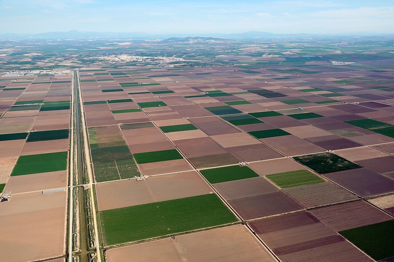

The UN Food and Agriculture Organization has used 41 years of satellite imagery to examine where strong El Niño events have coincided with agricultural drought. Its analysis looks at vegetation stress on cropland and pasture during earlier episodes.
The maps flag parts of the Sahel, Southern Africa and South and Southeast Asia among areas where crops and grazing land have been especially exposed. The risk varies with the season and the crops being grown.
The record gives food agencies and agricultural planners a way to decide where closer monitoring could help. A historical pattern can guide preparations while rainfall and field observations show how a particular season unfolds.